Delivery: Can be download immediately after purchasing. For new customer, we need process for verification from 30 mins to 12 hours.
Version: PDF/EPUB. If you need EPUB and MOBI Version, please contact us.
Compatible Devices: Can be read on any devices.
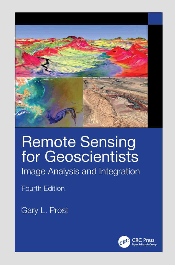
The fourth edition of the bestselling Remote Sensing for Geoscientists: Image Analysis and Integration expands the scope of remote sensing to cover image systems that did not exist 11 years ago when the third edition was published. It is thoroughly updated to meet the needs of readers today and provides examples of new capabilities using Google Earth© and various apps. It describes the latest remote sensing systems and sensors, provides examples of imagery, and explains how to analyze and integrate remote sensing images in projects that require superior results. Lavishly illustrated, it serves as a how-to guide for those using remote sensing in Earth Sciences for mapping and monitoring. New in the Fourth Edition: Thoroughly revised to address remote sensing technological advances achieved in recent years. Includes new examples of using remote sensing for successful projects in water, oil, gas, and mineral exploration and exploitation, forensic remote sensing, and environmental monitoring. Reviews the latest instrumentation, processing, and integrated analysis of imagery. Includes two new chapters, including one on clandestine geologic remote sensing and a new chapter on free Google Earth software to remotely sense anywhere on Earth and process imagery to highlight geologic features. Maintains a clear style and simple language understandable by the average person. This is a terrific, all-encompassing text for professionals in industry and governmental agencies, academics, and students who are part of the remote sensing and geospatial community and working in the fields of geology, geosciences, energy and mining industry, groundwater, and environmental engineering and for those who are involved in monitoring natural resources, the environment, and natural disasters.
This is a digital product.
Remote Sensing for Geoscientists: Image Analysis and Integration 4th Edition is written by Gary L. Prost and published by CRC Press. The Digital and eTextbook ISBNs for Remote Sensing for Geoscientists are 9781040347188, 1040347185 and the print ISBNs are 9781041020066, 1041020066. Additional ISBNs for this eTextbook include 9781040347164, 9781003617310.

Solution-Focused Counseling in Schools eBook
Palaces for the People eBook
Practice Makes Perfect Mastering Writing eBook
Invitation to Public Speaking Handbook eBook
Trends of Artificial Intelligence and Big Data for E-Health eBook
Codependent No More Workbook eBook
Medical Assistant Exam Prep eBook
Legal Aspects of Health Care Administration eBook
Multimedia Psychotherapy: A Psychodynamic Approach for Mourning in the Technological Age
The Handy English Grammar Answer Book eBook
Phlebotomy Handbook eBook 


Reviews
There are no reviews yet.