Delivery: Can be download immediately after purchasing. For new customer, we need process for verification from 30 mins to 12 hours.
Version: PDF/EPUB. If you need EPUB and MOBI Version, please contact us.
Compatible Devices: Can be read on any devices.
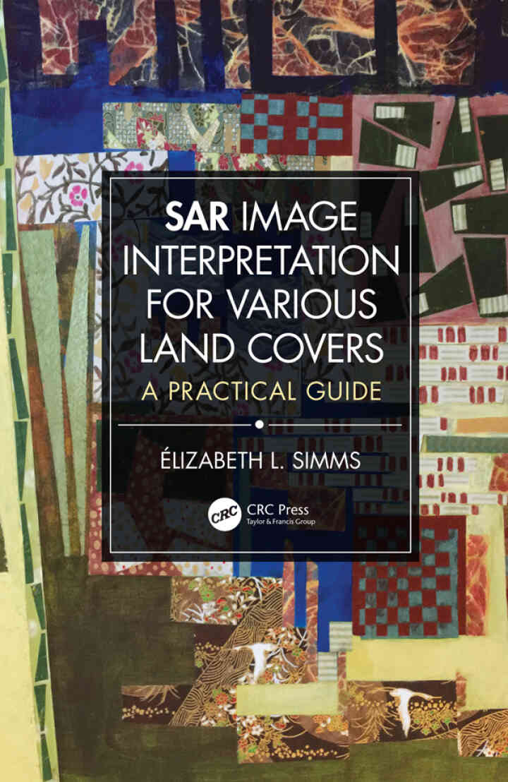
This full color book is a comprehensive visual reference for the interpretation of synthetic aperture radar (SAR) images with examples of how technological specifications may affect interpretation solutions. It contains a summary review of image acquisition parameters of consequence on the visual representation of objects, introduces traditional interpretation keys under different light and applies them for considering regional landscape components and identifying large-scale geographical ensembles. Through elements of interpretation such as the construct of tone, texture, pattern, size, and shape, the book explains the rich unique context of many terrains. It provides also several SAR X- and C-band image examples of regional and large-scale land use and land cover (LULC) ensembles, includes important explanations for each illustration, and highlights selected SAR image applications. Ancillary information includes acquisition specifications, a geographic scale, and the image-center latitude and longitude. Features: Provides ready access to any type of information for an image interpretation problem related to current LULC classification schemes. Presents scalable geographic information interpreted at a regional scale and land cover ensembles that can also be interpreted locally. Provides comparative examples of images acquired from X- and C-band, opposed look directions, near- and far-range incidence angles, like- and cross-polarization modes. Includes practical explanations easily transferred to individual’s research projects. Designed as “visual dictionary,” SAR Image Interpretation for Various Land Covers: A Practical Guide, is an excellent introduction to the visual interpretation of SAR images for numerous types of LULC. Both practitioners and students will familiarize themselves with and expand their knowledge of geographic information conveyed from radar images while government agencies and businesses that use LULC-related data for emergency response cases of for urban and regional planning, will find this book invaluable.
This is a digital product.
SAR Image Interpretation for Various Land Covers: A Practical Guide 1st Edition is written by Elizabeth Simms and published by CRC Press. The Digital and eTextbook ISBNs for SAR Image Interpretation for Various Land Covers are 9780429559792, 0429559798 and the print ISBNs are 9780367209964, 0367209969. Additional ISBNs for this eTextbook include 9780429264771, 9781032474939, 9780429555329, 9780429564260.

New Perspectives Microsoft Office 365 & Access 2016: Comprehensive eBook
Everything Happens for a Reason eBook
Essential Elements for Assessing Infants and Preschoolers with Special Needs eBook
Businesss Intelligence and Analytics eBook
Bring Your Own Devices (BYOD) Survival Guide eBook
Paths to God eBook
Powerpoint 2007 eBook
Murach's SQL Server 2016 for Developers eBook
Geometry of Surfaces: A Practical Guide for Mechanical Engineers eBook
Crocheting Adventures with Hyperbolic Planes: Tactile Mathematics, Art and Craft for all to Explore, Second Edition eBook
Piano for the Developing Musician, Media Update eBook
Human–Computer Interaction eBook 


Reviews
There are no reviews yet.